Path through Duchess Wood
Introduction
The photograph on this page of Path through Duchess Wood by Lairich Rig as part of the Geograph project.
The Geograph project started in 2005 with the aim of publishing, organising and preserving representative images for every square kilometre of Great Britain, Ireland and the Isle of Man.

There are currently over 7.5m images from over 14,400 individuals and you can help contribute to the project by visiting https://www.geograph.org.uk
Path through Duchess Wood
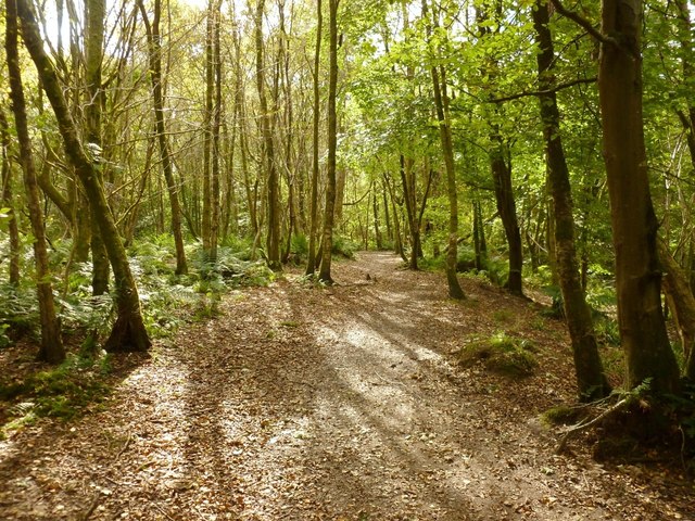
Image: © Lairich Rig Taken: 21 Sep 2012
See Image and Image for views from further along the same route. At the time of writing, this path is not included on OS maps, but others nearby are.
Images are licensed for reuse under creativecommons.org/licenses/by-sa/2.0
Image Location
Latitude
56.015061
Longitude
-4.749892