Entering Duchess Wood
Introduction
The photograph on this page of Entering Duchess Wood by Lairich Rig as part of the Geograph project.
The Geograph project started in 2005 with the aim of publishing, organising and preserving representative images for every square kilometre of Great Britain, Ireland and the Isle of Man.

There are currently over 7.5m images from over 14,400 individuals and you can help contribute to the project by visiting https://www.geograph.org.uk
Entering Duchess Wood
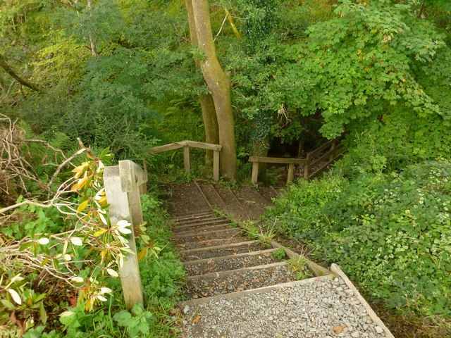
Image: © Lairich Rig Taken: 19 Sep 2012
At this point, a footpath through Duchess Wood has its start, leaving the farm track that is shown in Image; in that photograph, the start of the footpath can be seen on the right-hand side of the road, not far beyond the railway bridge. In order to cross the glen of a burn, the footpath immediately descends by means of these steps, before crossing a small wooden footbridge and ascending again, as shown in Image
Images are licensed for reuse under creativecommons.org/licenses/by-sa/2.0
Image Location
Latitude
56.016131
Longitude
-4.746277