Laggmore
Introduction
The photograph on this page of Laggmore by Anne Burgess as part of the Geograph project.
The Geograph project started in 2005 with the aim of publishing, organising and preserving representative images for every square kilometre of Great Britain, Ireland and the Isle of Man.

There are currently over 7.5m images from over 14,400 individuals and you can help contribute to the project by visiting https://www.geograph.org.uk
Laggmore
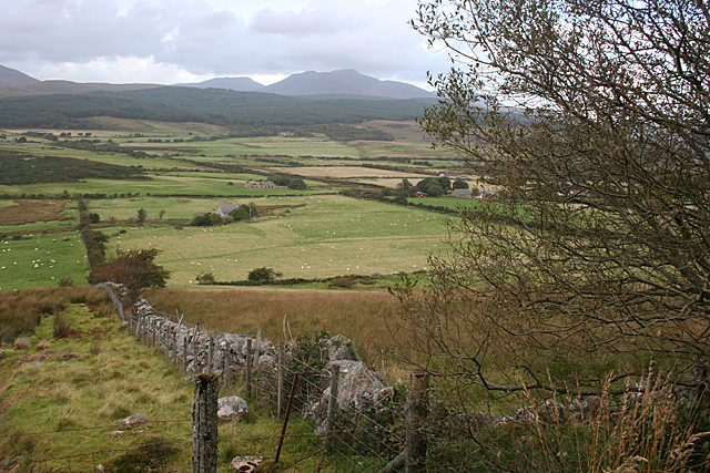
Image: © Anne Burgess Taken: 16 Sep 2012
The path to King's Cave just gets into the south-west corner of this square, offering a view down the hill to Laggmore, which is the house to the right of the far end of the wall. Photographer position checked, very carefully, with GPS.
Images are licensed for reuse under creativecommons.org/licenses/by-sa/2.0
Image Location
Latitude
55.53947
Longitude
-5.342159