Near Torr Righ Beag
Introduction
The photograph on this page of Near Torr Righ Beag by Anne Burgess as part of the Geograph project.
The Geograph project started in 2005 with the aim of publishing, organising and preserving representative images for every square kilometre of Great Britain, Ireland and the Isle of Man.

There are currently over 7.5m images from over 14,400 individuals and you can help contribute to the project by visiting https://www.geograph.org.uk
Near Torr Righ Beag
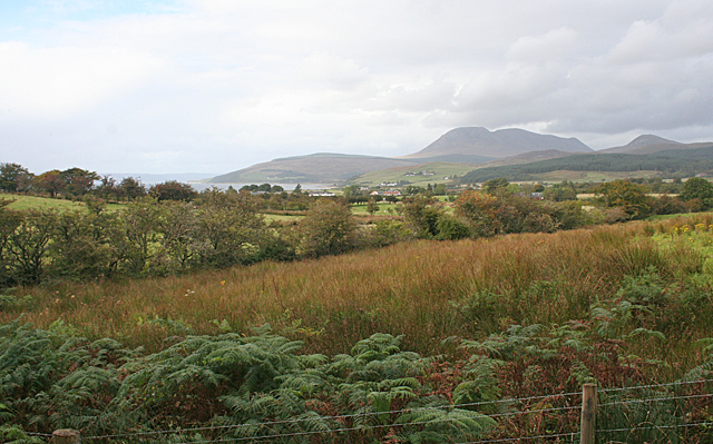
Image: © Anne Burgess Taken: 16 Sep 2012
Looking north from the newish Forestry Commission path from the car park at Torr Righ Beag to the King's Cave. The distant hill is Mullach Buidhe
Images are licensed for reuse under creativecommons.org/licenses/by-sa/2.0
Image Location
Latitude
55.535735
Longitude
-5.334074