Fairly new housing built around the green at Baldarroch near Murthly
Introduction
The photograph on this page of Fairly new housing built around the green at Baldarroch near Murthly by James Denham as part of the Geograph project.
The Geograph project started in 2005 with the aim of publishing, organising and preserving representative images for every square kilometre of Great Britain, Ireland and the Isle of Man.

There are currently over 7.5m images from over 14,400 individuals and you can help contribute to the project by visiting https://www.geograph.org.uk
Fairly new housing built around the green at Baldarroch near Murthly
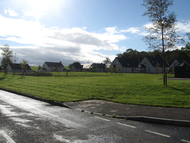
Image: © James Denham Taken: 26 Sep 2012
The middle of the green is taken up by reed-covered ponds.
Images are licensed for reuse under creativecommons.org/licenses/by-sa/2.0
Image Location


Leaflet Map data © OpenStreetMap
Latitude
56.526209
Longitude
-3.455512