Flint Barn
Introduction
The photograph on this page of Flint Barn by Simon Carey as part of the Geograph project.
The Geograph project started in 2005 with the aim of publishing, organising and preserving representative images for every square kilometre of Great Britain, Ireland and the Isle of Man.

There are currently over 7.5m images from over 14,400 individuals and you can help contribute to the project by visiting https://www.geograph.org.uk
Flint Barn
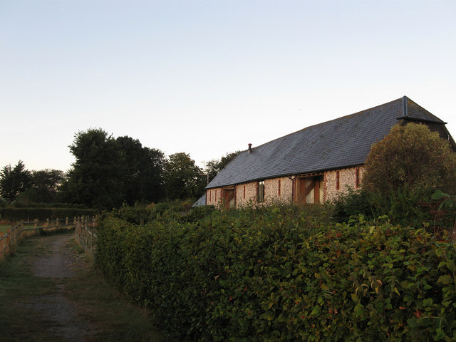
Image: © Simon Carey Taken: 22 Sep 2012
The name of the barn that was once part of South Farm but has now been converted into a residence. The farm closed in the early 1990s and the remaining flint barn, farmhouse and former farm yard have now been developed into South Farm Close.
Images are licensed for reuse under creativecommons.org/licenses/by-sa/2.0
Image Location
Latitude
50.837698
Longitude
0.017428