A4233 north of Station Road bridge, Ynyshir
Introduction
The photograph on this page of A4233 north of Station Road bridge, Ynyshir by Jaggery as part of the Geograph project.
The Geograph project started in 2005 with the aim of publishing, organising and preserving representative images for every square kilometre of Great Britain, Ireland and the Isle of Man.

There are currently over 7.5m images from over 14,400 individuals and you can help contribute to the project by visiting https://www.geograph.org.uk
A4233 north of Station Road bridge, Ynyshir
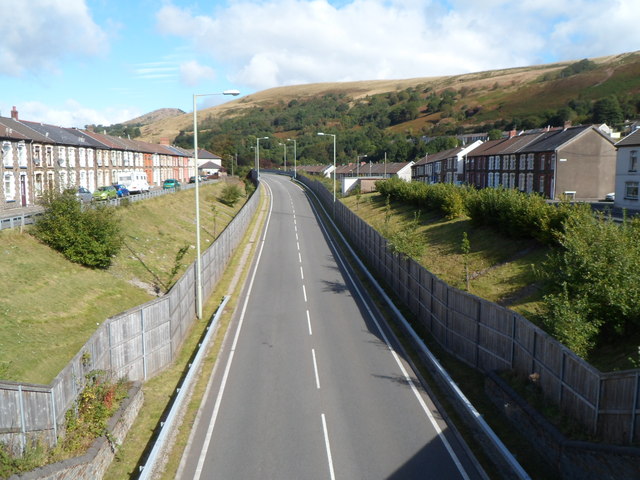
Image: © Jaggery Taken: 19 Sep 2012
Viewed from this http://www.geograph.org.uk/photo/3140061 bridge. The site of Ynyshir railway station was directly ahead, just beyond the bridge. The station closed in 1964 on the cessation of passenger services. The line remained open for coal traffic until 1986. The A4233 uses the trackbed of the dismantled railway lines.
Images are licensed for reuse under creativecommons.org/licenses/by-sa/2.0
Image Location
Latitude
51.628414
Longitude
-3.41028