Broomage
Introduction
The photograph on this page of Broomage by Derek Harper as part of the Geograph project.
The Geograph project started in 2005 with the aim of publishing, organising and preserving representative images for every square kilometre of Great Britain, Ireland and the Isle of Man.

There are currently over 7.5m images from over 14,400 individuals and you can help contribute to the project by visiting https://www.geograph.org.uk
Broomage
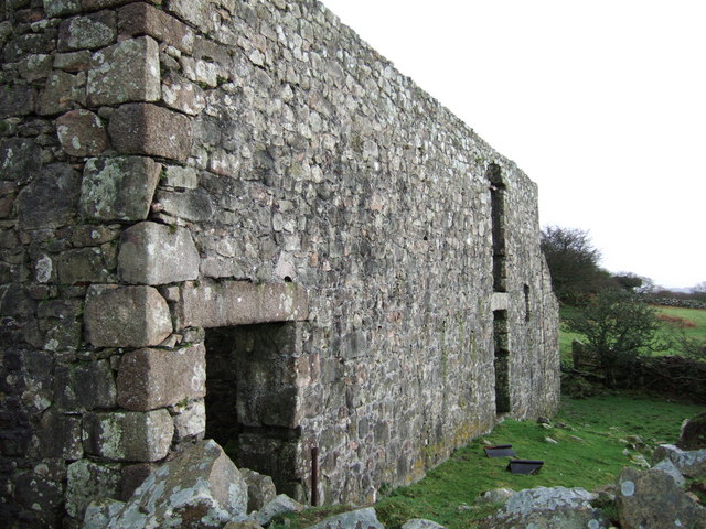
Image: © Derek Harper Taken: 14 Jan 2007
See Image This view of the ruinous farmhouse shows the large quoin stones of the local pink granite, and a sturdy lintel.
Images are licensed for reuse under creativecommons.org/licenses/by-sa/2.0
Image Location
Latitude
50.430621
Longitude
-4.002079