Bow Road
Introduction
The photograph on this page of Bow Road by Derek Harper as part of the Geograph project.
The Geograph project started in 2005 with the aim of publishing, organising and preserving representative images for every square kilometre of Great Britain, Ireland and the Isle of Man.

There are currently over 7.5m images from over 14,400 individuals and you can help contribute to the project by visiting https://www.geograph.org.uk
Bow Road
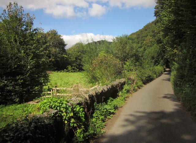
Image: © Derek Harper Taken: 19 Sep 2012
The lane runs along the northern side of the floor of the Harbourne River valley. On the right, Whiteway's Copse, succeeded by Meadow Copse, climb the steep valley side. The river flows past the trees on the left across the meadow. Taken just north of Crowdy Mill.
Images are licensed for reuse under creativecommons.org/licenses/by-sa/2.0
Image Location
Latitude
50.39231
Longitude
-3.70262