Pill Hill Brook confluence with its leat
Introduction
The photograph on this page of Pill Hill Brook confluence with its leat by Stuart Logan as part of the Geograph project.
The Geograph project started in 2005 with the aim of publishing, organising and preserving representative images for every square kilometre of Great Britain, Ireland and the Isle of Man.

There are currently over 7.5m images from over 14,400 individuals and you can help contribute to the project by visiting https://www.geograph.org.uk
Pill Hill Brook confluence with its leat
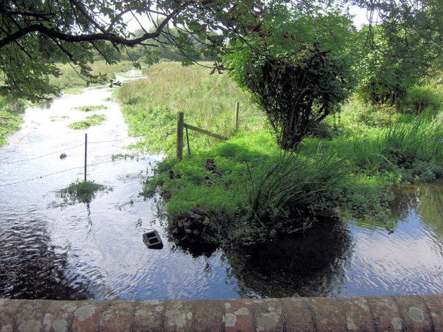
Image: © Stuart Logan Taken: 31 Aug 2012
The leat has been supplying water to the Abbotts Ann watercress beds. Here it rejoins its parent.
Images are licensed for reuse under creativecommons.org/licenses/by-sa/2.0
Image Location
Latitude
51.192107
Longitude
-1.527148