Derelict farm building near Cae'r-Lan
Introduction
The photograph on this page of Derelict farm building near Cae'r-Lan by Jaggery as part of the Geograph project.
The Geograph project started in 2005 with the aim of publishing, organising and preserving representative images for every square kilometre of Great Britain, Ireland and the Isle of Man.

There are currently over 7.5m images from over 14,400 individuals and you can help contribute to the project by visiting https://www.geograph.org.uk
Derelict farm building near Cae'r-Lan
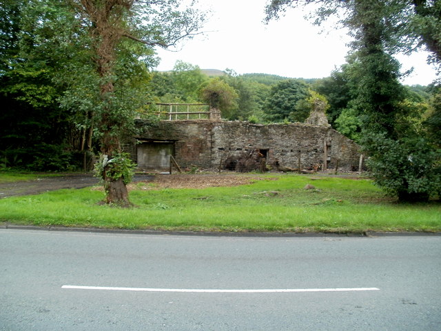
Image: © Jaggery Taken: 29 Aug 2011
Viewed across Brecon Road (the A4067). The derelict building is on the west bank of the River Tawe.
Images are licensed for reuse under creativecommons.org/licenses/by-sa/2.0
Image Location
Latitude
51.797404
Longitude
-3.730677