Newton Reform Club
Introduction
The photograph on this page of Newton Reform Club by Gerald England as part of the Geograph project.
The Geograph project started in 2005 with the aim of publishing, organising and preserving representative images for every square kilometre of Great Britain, Ireland and the Isle of Man.

There are currently over 7.5m images from over 14,400 individuals and you can help contribute to the project by visiting https://www.geograph.org.uk
Newton Reform Club
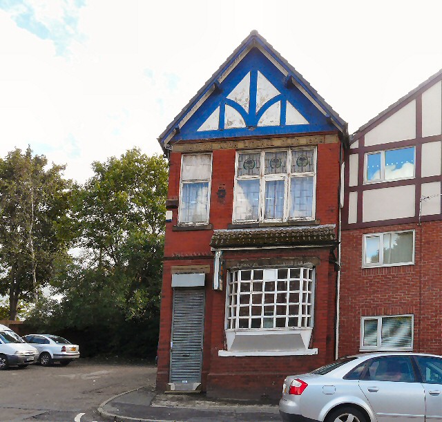
Image: © Gerald England Taken: 27 Sep 2012
Otherwise known as Newton Moor Liberal Club. The sign in the stonework Image dates the building as 1909.
Images are licensed for reuse under creativecommons.org/licenses/by-sa/2.0
Image Location
Latitude
53.464057
Longitude
-2.06247