The Clydesburn, Ballyhalbert (1)
Introduction
The photograph on this page of The Clydesburn, Ballyhalbert (1) by Albert Bridge as part of the Geograph project.
The Geograph project started in 2005 with the aim of publishing, organising and preserving representative images for every square kilometre of Great Britain, Ireland and the Isle of Man.

There are currently over 7.5m images from over 14,400 individuals and you can help contribute to the project by visiting https://www.geograph.org.uk
The Clydesburn, Ballyhalbert (1)
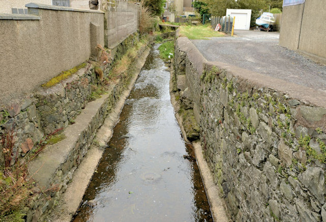
Image: © Albert Bridge Taken: 27 Sep 2012
I might be wrong but (I think) the Clydesburn was a race/lade/carry which once powered a corn mill. This view is from the Shore Road Image just before the water flows into the Irish Sea. Image shows it entering the sea.
Images are licensed for reuse under creativecommons.org/licenses/by-sa/2.0
Image Location
Latitude
54.495377
Longitude
-5.460855