The Moat Road, Ballyhalbert
Introduction
The photograph on this page of The Moat Road, Ballyhalbert by Albert Bridge as part of the Geograph project.
The Geograph project started in 2005 with the aim of publishing, organising and preserving representative images for every square kilometre of Great Britain, Ireland and the Isle of Man.

There are currently over 7.5m images from over 14,400 individuals and you can help contribute to the project by visiting https://www.geograph.org.uk
The Moat Road, Ballyhalbert
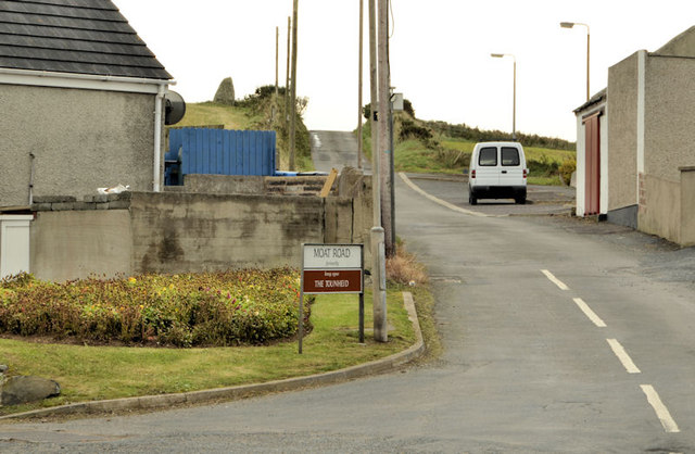
Image: © Albert Bridge Taken: 27 Sep 2012
The Moat Road is a minor road running from the Shore Road/Portavogie Road towards Ballyeasborough Image Once known as the Tounheid.
Images are licensed for reuse under creativecommons.org/licenses/by-sa/2.0
Image Location
Latitude
54.494816
Longitude
-5.459809