Trans Pennine Trail
Introduction
The photograph on this page of Trans Pennine Trail by Graham Hogg as part of the Geograph project.
The Geograph project started in 2005 with the aim of publishing, organising and preserving representative images for every square kilometre of Great Britain, Ireland and the Isle of Man.

There are currently over 7.5m images from over 14,400 individuals and you can help contribute to the project by visiting https://www.geograph.org.uk
Trans Pennine Trail
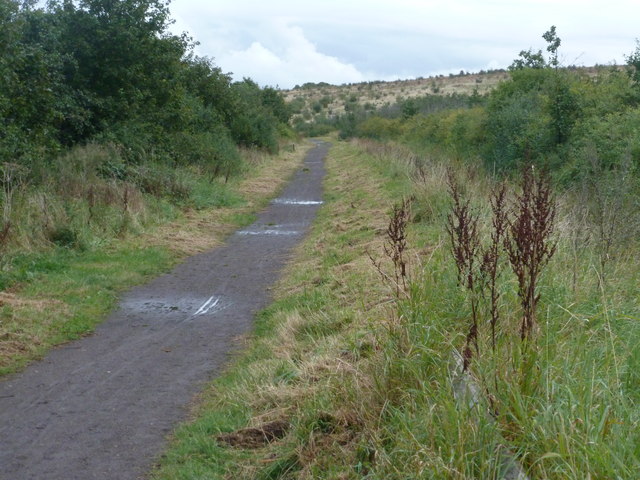
Image: © Graham Hogg Taken: 26 Sep 2012
The Trail here runs towards the only raised ground in this flat landscape, a man made hill from the former colliery workings.
Images are licensed for reuse under creativecommons.org/licenses/by-sa/2.0
Image Location
Latitude
53.563339
Longitude
-1.149352