Records Cross junction
Introduction
The photograph on this page of Records Cross junction by David Smith as part of the Geograph project.
The Geograph project started in 2005 with the aim of publishing, organising and preserving representative images for every square kilometre of Great Britain, Ireland and the Isle of Man.

There are currently over 7.5m images from over 14,400 individuals and you can help contribute to the project by visiting https://www.geograph.org.uk
Records Cross junction
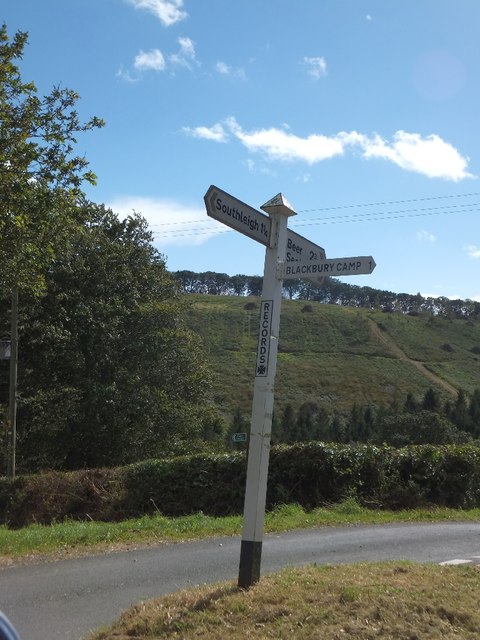
Image: © David Smith Taken: 25 Sep 2012
The road on the right descends into the valley below Bovey Down (seen opposite); on the left, the road follows the contours towards Stockham. The footpath (sign just visible) descends steeply into the valley.
Images are licensed for reuse under creativecommons.org/licenses/by-sa/2.0
Image Location
Latitude
50.7198
Longitude
-3.130379