Houses on Whitford Road, Musbury
Introduction
The photograph on this page of Houses on Whitford Road, Musbury by Derek Harper as part of the Geograph project.
The Geograph project started in 2005 with the aim of publishing, organising and preserving representative images for every square kilometre of Great Britain, Ireland and the Isle of Man.

There are currently over 7.5m images from over 14,400 individuals and you can help contribute to the project by visiting https://www.geograph.org.uk
Houses on Whitford Road, Musbury
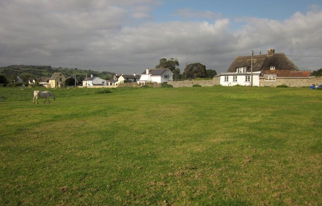
Image: © Derek Harper Taken: 15 Sep 2012
Seen across a pasture field from the East Devon Way following Musbury Footpath 5. The thatched cottage on the right is listed http://list.english-heritage.org.uk/resultsingle.aspx?uid=1098428&searchtype=mapsearch .
Images are licensed for reuse under creativecommons.org/licenses/by-sa/2.0
Image Location
Latitude
50.747308
Longitude
-3.034655