Combpyne Road
Introduction
The photograph on this page of Combpyne Road by Derek Harper as part of the Geograph project.
The Geograph project started in 2005 with the aim of publishing, organising and preserving representative images for every square kilometre of Great Britain, Ireland and the Isle of Man.

There are currently over 7.5m images from over 14,400 individuals and you can help contribute to the project by visiting https://www.geograph.org.uk
Combpyne Road
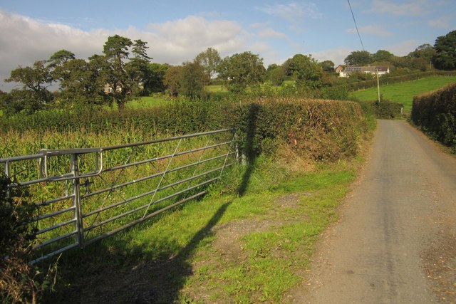
Image: © Derek Harper Taken: 15 Sep 2012
The lane from Lower Bruckland nears Musbury, with houses ahead around Southerns Cross, on the lower eastern slopes of the Axe valley, and a field of maize on the left.
Images are licensed for reuse under creativecommons.org/licenses/by-sa/2.0
Image Location
Latitude
50.741209
Longitude
-3.03282