Road Junction at Celleron
Introduction
The photograph on this page of Road Junction at Celleron by Martin Dawes as part of the Geograph project.
The Geograph project started in 2005 with the aim of publishing, organising and preserving representative images for every square kilometre of Great Britain, Ireland and the Isle of Man.

There are currently over 7.5m images from over 14,400 individuals and you can help contribute to the project by visiting https://www.geograph.org.uk
Road Junction at Celleron
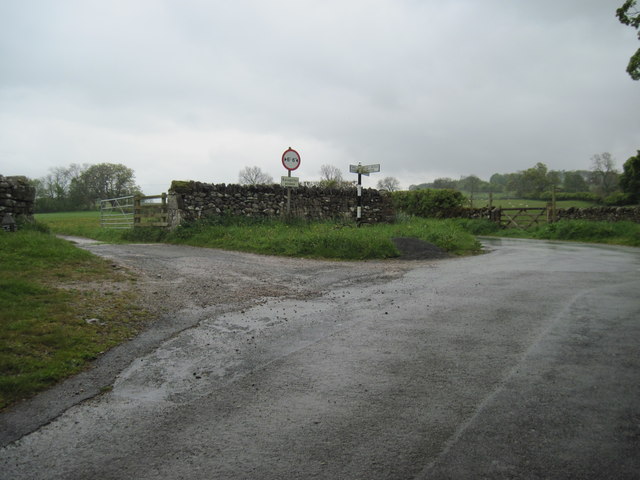
Image: © Martin Dawes Taken: 17 May 2012
First left to a farm, second left to Askham. Right to Pooley Bridge, behind me the lane to Thorpe
Images are licensed for reuse under creativecommons.org/licenses/by-sa/2.0
Image Location
Latitude
54.619495
Longitude
-2.784033