Coventry Canal: Reach north-east of Bedworth
Introduction
The photograph on this page of Coventry Canal: Reach north-east of Bedworth by Nigel Cox as part of the Geograph project.
The Geograph project started in 2005 with the aim of publishing, organising and preserving representative images for every square kilometre of Great Britain, Ireland and the Isle of Man.

There are currently over 7.5m images from over 14,400 individuals and you can help contribute to the project by visiting https://www.geograph.org.uk
Coventry Canal: Reach north-east of Bedworth
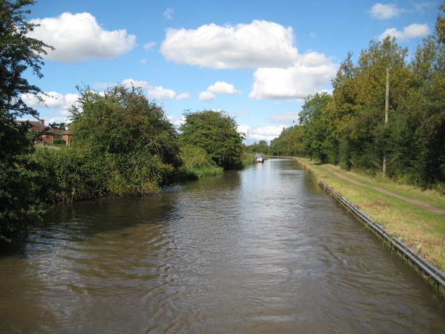
Image: © Nigel Cox Taken: 11 Sep 2012
Old maps show that this reach was once lined with fields. Now it is houses and a sewage works, left and right respectively.
Images are licensed for reuse under creativecommons.org/licenses/by-sa/2.0
Image Location
Latitude
52.48715
Longitude
-1.45905