Mountain Air Inn, Nantybwch, Tredegar
Introduction
The photograph on this page of Mountain Air Inn, Nantybwch, Tredegar by Robin Drayton as part of the Geograph project.
The Geograph project started in 2005 with the aim of publishing, organising and preserving representative images for every square kilometre of Great Britain, Ireland and the Isle of Man.

There are currently over 7.5m images from over 14,400 individuals and you can help contribute to the project by visiting https://www.geograph.org.uk
Mountain Air Inn, Nantybwch, Tredegar
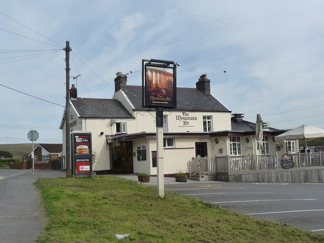
Image: © Robin Drayton Taken: 6 Sep 2012
Formerly a farmhouse built in 1885. The sign shows a nearby viaduct http://www.geograph.org.uk/photo/3147065 .
Images are licensed for reuse under creativecommons.org/licenses/by-sa/2.0
Image Location
Latitude
51.791232
Longitude
-3.261948