Wheelie Bin Lane Ramsbottom
Introduction
The photograph on this page of Wheelie Bin Lane Ramsbottom by Paul Anderson as part of the Geograph project.
The Geograph project started in 2005 with the aim of publishing, organising and preserving representative images for every square kilometre of Great Britain, Ireland and the Isle of Man.

There are currently over 7.5m images from over 14,400 individuals and you can help contribute to the project by visiting https://www.geograph.org.uk
Wheelie Bin Lane Ramsbottom
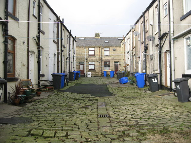
Image: © Paul Anderson Taken: 18 Jan 2007
Rear of Edgar Street on the left and the rear of Nuttall Lane on the right. Some days you can't see this street for all the washing hung out between the houses.
Images are licensed for reuse under creativecommons.org/licenses/by-sa/2.0
Image Location
Latitude
53.64143
Longitude
-2.321833