Eastern boundary of Abercrave
Introduction
The photograph on this page of Eastern boundary of Abercrave by Jaggery as part of the Geograph project.
The Geograph project started in 2005 with the aim of publishing, organising and preserving representative images for every square kilometre of Great Britain, Ireland and the Isle of Man.

There are currently over 7.5m images from over 14,400 individuals and you can help contribute to the project by visiting https://www.geograph.org.uk
Eastern boundary of Abercrave
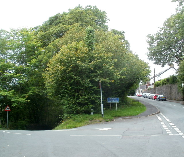
Image: © Jaggery Taken: 29 Aug 2011
The white-on-blue boundary sign is at the junction of Heol Tawe (ahead) and Station Road on the left. The sign shows only the Welsh name of the village, Abercraf, though the English version Abercrave is also used. Station Road formerly led to Abercrave railway station which opened in 1869. Passenger services ceased in 1932. The line through the station remained open for freight trains for some time thereafter.
Images are licensed for reuse under creativecommons.org/licenses/by-sa/2.0
Image Location


Leaflet Map data © OpenStreetMap
Latitude
51.80174
Longitude
-3.704736