Cleethorpes 2007 (aerial): 4
Introduction
The photograph on this page of Cleethorpes 2007 (aerial): 4 by John Hardy as part of the Geograph project.
The Geograph project started in 2005 with the aim of publishing, organising and preserving representative images for every square kilometre of Great Britain, Ireland and the Isle of Man.

There are currently over 7.5m images from over 14,400 individuals and you can help contribute to the project by visiting https://www.geograph.org.uk
Cleethorpes 2007 (aerial): 4
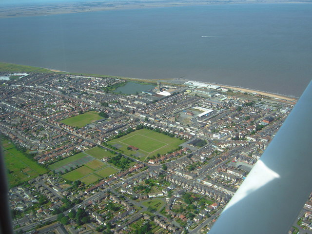
Image: © John Hardy Taken: 8 Aug 2007
Clee Road runs diagonally from the bottom left corner, past the playing field, to Isaac's Hill roundabout (by the white art deco former Electricity Board building). The water tower is in the middle near the shoreline, with Blundell Park football ground top left.
Images are licensed for reuse under creativecommons.org/licenses/by-sa/2.0
Image Location
Latitude
53.565712
Longitude
-0.036594