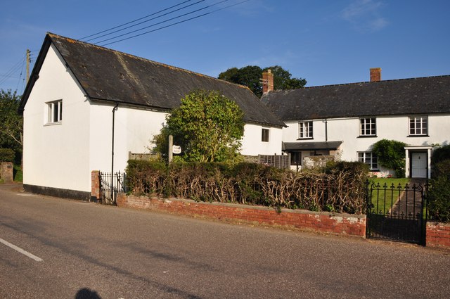
East Devon : Rudway Barton House
Introduction
The photograph on this page of East Devon : Rudway Barton House by Lewis Clarke as part of the Geograph project.
The Geograph project started in 2005 with the aim of publishing, organising and preserving representative images for every square kilometre of Great Britain, Ireland and the Isle of Man.
There are currently over 7.5m images from over 14,400 individuals and you can help contribute to the project by visiting https://www.geograph.org.uk

Image: © Lewis Clarke Taken: 22 Sep 2012
C16 or early C17. Cob and stone mix, rendered, under gabled-end slate roof. 3 openings to 1st floor, with C19 timber mullions; C19 door (external access); C19 roof but 2 older trusses survive, one jointed cruck with trenched purlins, morticed and side-pegged; the other principal side-pegged and morticed; both clean. Included for group value.

