Bridge Over Spital Brook
Introduction
The photograph on this page of Bridge Over Spital Brook by Jonathan Clitheroe as part of the Geograph project.
The Geograph project started in 2005 with the aim of publishing, organising and preserving representative images for every square kilometre of Great Britain, Ireland and the Isle of Man.

There are currently over 7.5m images from over 14,400 individuals and you can help contribute to the project by visiting https://www.geograph.org.uk
Bridge Over Spital Brook
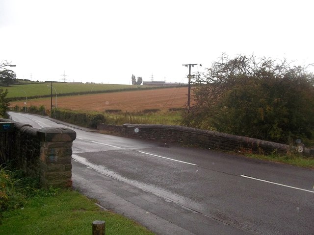
Image: © Jonathan Clitheroe Taken: 25 Sep 2012
This bridge is situated on Calow Lane and is pictured here on a persistently wet Tuesday in late September. The dwelling on the horizon (occupying the northern edge of this grid square) is Laurel Farm and the green box on the far left of picture is a water-level gauge.
Images are licensed for reuse under creativecommons.org/licenses/by-sa/2.0
Image Location
Latitude
53.224983
Longitude
-1.397677