Old Vealhays, Kilmington
Introduction
The photograph on this page of Old Vealhays, Kilmington by Derek Harper as part of the Geograph project.
The Geograph project started in 2005 with the aim of publishing, organising and preserving representative images for every square kilometre of Great Britain, Ireland and the Isle of Man.

There are currently over 7.5m images from over 14,400 individuals and you can help contribute to the project by visiting https://www.geograph.org.uk
Old Vealhays, Kilmington
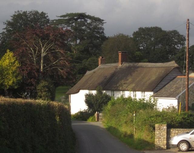
Image: © Derek Harper Taken: 15 Sep 2012
A very similar view to Image at a different season. The thatched former farmhouse is a C16 open hall house http://list.english-heritage.org.uk/resultsingle.aspx?uid=1333571&searchtype=mapsearch . This is Vealhays Lane.
Images are licensed for reuse under creativecommons.org/licenses/by-sa/2.0
Image Location
Latitude
50.780062
Longitude
-3.032399