Grade II listed The Court House, Dorstone
Introduction
The photograph on this page of Grade II listed The Court House, Dorstone by Jaggery as part of the Geograph project.
The Geograph project started in 2005 with the aim of publishing, organising and preserving representative images for every square kilometre of Great Britain, Ireland and the Isle of Man.

There are currently over 7.5m images from over 14,400 individuals and you can help contribute to the project by visiting https://www.geograph.org.uk
Grade II listed The Court House, Dorstone
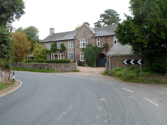
Image: © Jaggery Taken: 16 Sep 2012
Located facing a sharp bend in the B4348, the detached house is of two periods. The northern half dates from the 18th century. The southern half is Edwardian (early 20th century). Grade II listed in February 1993.
Images are licensed for reuse under creativecommons.org/licenses/by-sa/2.0
Image Location
Latitude
52.070497
Longitude
-3.000336