Going down the brook
Introduction
The photograph on this page of Going down the brook by Robin Webster as part of the Geograph project.
The Geograph project started in 2005 with the aim of publishing, organising and preserving representative images for every square kilometre of Great Britain, Ireland and the Isle of Man.

There are currently over 7.5m images from over 14,400 individuals and you can help contribute to the project by visiting https://www.geograph.org.uk
Going down the brook
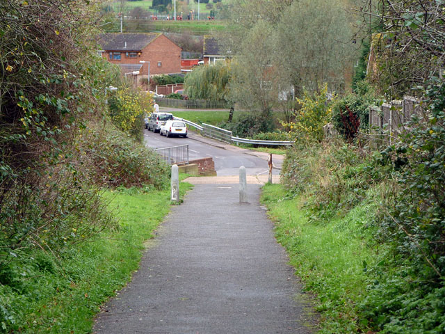
Image: © Robin Webster Taken: 13 Nov 2010
Before the housing development across Stanford Brook, this was the unsurfaced way down for vehicles, with a wood surfaced bridge. There were only allotments on the other side, with the road layout as now but only as tracks, evidently laid out for future development which for many years only managed to reach two houses (now demolished).
Images are licensed for reuse under creativecommons.org/licenses/by-sa/2.0
Image Location
Latitude
51.511034
Longitude
0.424776