Newbridge Lane
Introduction
The photograph on this page of Newbridge Lane by Gerald England as part of the Geograph project.
The Geograph project started in 2005 with the aim of publishing, organising and preserving representative images for every square kilometre of Great Britain, Ireland and the Isle of Man.

There are currently over 7.5m images from over 14,400 individuals and you can help contribute to the project by visiting https://www.geograph.org.uk
Newbridge Lane
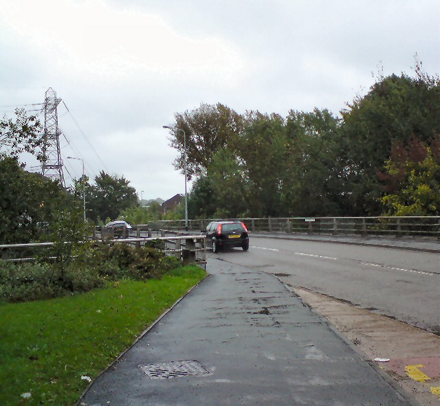
Image: © Gerald England Taken: 25 Sep 2012
The B6104 (formerly the A560) out of Stockport towards Hyde. After crossing the River Goyt Newbridge Lane turns into Stockport Road West.
Images are licensed for reuse under creativecommons.org/licenses/by-sa/2.0
Image Location
Latitude
53.415457
Longitude
-2.137023