Top of Broom Lane, Whickham
Introduction
The photograph on this page of Top of Broom Lane, Whickham by Robert Graham as part of the Geograph project.
The Geograph project started in 2005 with the aim of publishing, organising and preserving representative images for every square kilometre of Great Britain, Ireland and the Isle of Man.

There are currently over 7.5m images from over 14,400 individuals and you can help contribute to the project by visiting https://www.geograph.org.uk
Top of Broom Lane, Whickham
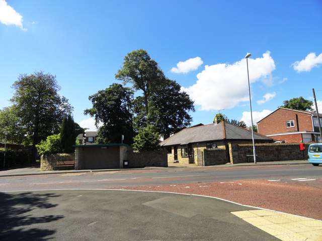
Image: © Robert Graham Taken: 8 Aug 2012
The junction of the south end of Broom Lane with Whagg's Lane, the main route out of Whickham to the south. The trees here once held a Rookery, but no more.
Images are licensed for reuse under creativecommons.org/licenses/by-sa/2.0
Image Location
Latitude
54.935592
Longitude
-1.676275