Western end of Watergate park
Introduction
The photograph on this page of Western end of Watergate park by Robert Graham as part of the Geograph project.
The Geograph project started in 2005 with the aim of publishing, organising and preserving representative images for every square kilometre of Great Britain, Ireland and the Isle of Man.

There are currently over 7.5m images from over 14,400 individuals and you can help contribute to the project by visiting https://www.geograph.org.uk
Western end of Watergate park
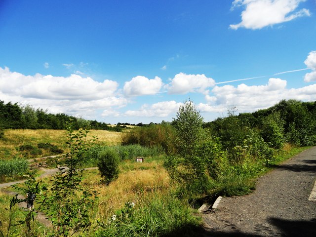
Image: © Robert Graham Taken: 8 Aug 2012
Looking east along the path which leads out of Washingwell Woods.
Images are licensed for reuse under creativecommons.org/licenses/by-sa/2.0
Image Location
Latitude
54.933917
Longitude
-1.655375