Low Lorton Junction
Introduction
The photograph on this page of Low Lorton Junction by Gordon Griffiths as part of the Geograph project.
The Geograph project started in 2005 with the aim of publishing, organising and preserving representative images for every square kilometre of Great Britain, Ireland and the Isle of Man.

There are currently over 7.5m images from over 14,400 individuals and you can help contribute to the project by visiting https://www.geograph.org.uk
Low Lorton Junction
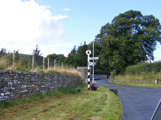
Image: © Gordon Griffiths Taken: 11 Sep 2012
The view on the B5289 Buttermere to Cockermouth road.
Images are licensed for reuse under creativecommons.org/licenses/by-sa/2.0
Image Location
Latitude
54.618967
Longitude
-3.312119