Bridleway south from Blackbury Camp
Introduction
The photograph on this page of Bridleway south from Blackbury Camp by David Smith as part of the Geograph project.
The Geograph project started in 2005 with the aim of publishing, organising and preserving representative images for every square kilometre of Great Britain, Ireland and the Isle of Man.

There are currently over 7.5m images from over 14,400 individuals and you can help contribute to the project by visiting https://www.geograph.org.uk
Bridleway south from Blackbury Camp
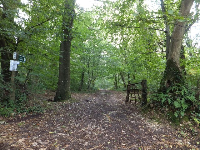
Image: © David Smith Taken: 25 Sep 2012
The path runs south to cross a ford and join the A3052 near the former Three Horse Shoes Inn Image
Images are licensed for reuse under creativecommons.org/licenses/by-sa/2.0
Image Location
Latitude
50.725394
Longitude
-3.156016