Farmland near Little Stretton
Introduction
The photograph on this page of Farmland near Little Stretton by Pam Brophy as part of the Geograph project.
The Geograph project started in 2005 with the aim of publishing, organising and preserving representative images for every square kilometre of Great Britain, Ireland and the Isle of Man.

There are currently over 7.5m images from over 14,400 individuals and you can help contribute to the project by visiting https://www.geograph.org.uk
Farmland near Little Stretton
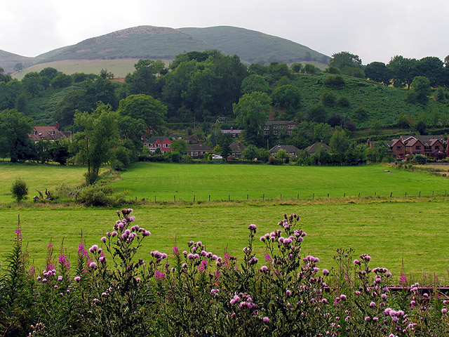
Image: © Pam Brophy Taken: 26 Jul 2005
This view of fields between the railway line and Little Stretton is in the southern half of the square. The square is characterised by farmland and residences in Little Stretton. It also contains the site of an old castle, not visible in this picture.
Images are licensed for reuse under creativecommons.org/licenses/by-sa/2.0
Image Location


Leaflet Map data © OpenStreetMap
Latitude
52.523569
Longitude
-2.816368