Top of Malvern Gardens
Introduction
The photograph on this page of Top of Malvern Gardens by Robert Graham as part of the Geograph project.
The Geograph project started in 2005 with the aim of publishing, organising and preserving representative images for every square kilometre of Great Britain, Ireland and the Isle of Man.

There are currently over 7.5m images from over 14,400 individuals and you can help contribute to the project by visiting https://www.geograph.org.uk
Top of Malvern Gardens
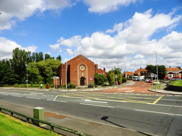
Image: © Robert Graham Taken: 8 Aug 2012
The junction with Whickham Highway. The church is the Immaculate Heart of Mary R C church, Lobley Hill.
Images are licensed for reuse under creativecommons.org/licenses/by-sa/2.0
Image Location
Latitude
54.940072
Longitude
-1.639714