View over Higher Bruckland Farm
Introduction
The photograph on this page of View over Higher Bruckland Farm by Derek Harper as part of the Geograph project.
The Geograph project started in 2005 with the aim of publishing, organising and preserving representative images for every square kilometre of Great Britain, Ireland and the Isle of Man.

There are currently over 7.5m images from over 14,400 individuals and you can help contribute to the project by visiting https://www.geograph.org.uk
View over Higher Bruckland Farm
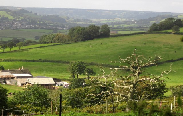
Image: © Derek Harper Taken: 15 Sep 2012
From the same spot as Image], looking across the farm to fields by Knoll Knap on the slopes below Musbury Castle. The settlement across the Axe valley is Colyton.
Images are licensed for reuse under creativecommons.org/licenses/by-sa/2.0
Image Location
Latitude
50.734833
Longitude
-3.021627