Arable field near Bruckland
Introduction
The photograph on this page of Arable field near Bruckland by Derek Harper as part of the Geograph project.
The Geograph project started in 2005 with the aim of publishing, organising and preserving representative images for every square kilometre of Great Britain, Ireland and the Isle of Man.

There are currently over 7.5m images from over 14,400 individuals and you can help contribute to the project by visiting https://www.geograph.org.uk
Arable field near Bruckland
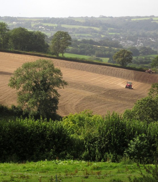
Image: © Derek Harper Taken: 15 Sep 2012
Tractors at work in a fairly steep field in the Bruckland valley, seen from the no through lane to Edgehill Farm. In the Axe valley beyond is Colyford.
Images are licensed for reuse under creativecommons.org/licenses/by-sa/2.0
Image Location
Latitude
50.732185
Longitude
-3.015901