Coventry Canal: Bridge Number 21: Wash Lane Bridge
Introduction
The photograph on this page of Coventry Canal: Bridge Number 21: Wash Lane Bridge by Nigel Cox as part of the Geograph project.
The Geograph project started in 2005 with the aim of publishing, organising and preserving representative images for every square kilometre of Great Britain, Ireland and the Isle of Man.

There are currently over 7.5m images from over 14,400 individuals and you can help contribute to the project by visiting https://www.geograph.org.uk
Coventry Canal: Bridge Number 21: Wash Lane Bridge
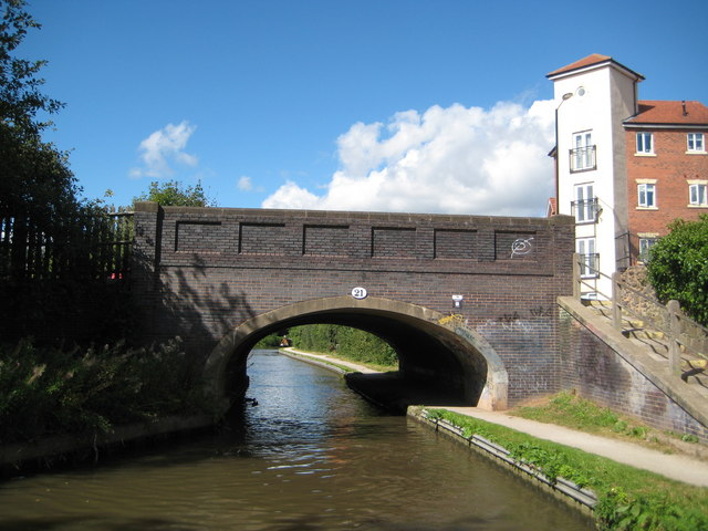
Image: © Nigel Cox Taken: 11 Sep 2012
Wash Lane was up until about 1870 the name of the main thoroughfare from this canal bridge to the centre of Nuneaton. It subsequently became Gas Street reflecting civic pride in the town's gasworks, and then Queen's Road after one of Queen Victoria's Jubilees. Although Queen's Road still exists today nearer the centre of town the straight length of road over the bridge is now the B4102 Croft Road.
Images are licensed for reuse under creativecommons.org/licenses/by-sa/2.0
Image Location


Leaflet Map data © OpenStreetMap
Latitude
52.521694
Longitude
-1.483976