Llantarnam Road north of Henllys Way, Cwmbran
Introduction
The photograph on this page of Llantarnam Road north of Henllys Way, Cwmbran by Jaggery as part of the Geograph project.
The Geograph project started in 2005 with the aim of publishing, organising and preserving representative images for every square kilometre of Great Britain, Ireland and the Isle of Man.

There are currently over 7.5m images from over 14,400 individuals and you can help contribute to the project by visiting https://www.geograph.org.uk
Llantarnam Road north of Henllys Way, Cwmbran
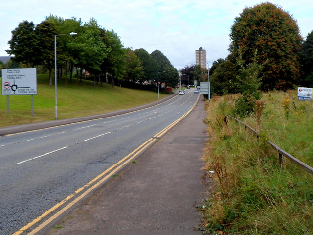
Image: © Jaggery Taken: 21 Sep 2012
The main features of this 300 metre section of road are a tree-lined bank on one side and waste ground on the other side. The Tower Block (64 metres high) http://www.geograph.org.uk/photo/1611824 is in the distance.
Images are licensed for reuse under creativecommons.org/licenses/by-sa/2.0
Image Location
Latitude
51.6474
Longitude
-3.017732