Wide Howe Lane
Introduction
The photograph on this page of Wide Howe Lane by Gordon Hatton as part of the Geograph project.
The Geograph project started in 2005 with the aim of publishing, organising and preserving representative images for every square kilometre of Great Britain, Ireland and the Isle of Man.

There are currently over 7.5m images from over 14,400 individuals and you can help contribute to the project by visiting https://www.geograph.org.uk
Wide Howe Lane
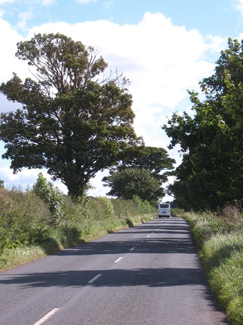
Image: © Gordon Hatton Taken: 19 Sep 2012
Unclassified road at Baldersby St James. This road forms part of a quiet and useful back road route running almost all the way to York.
Images are licensed for reuse under creativecommons.org/licenses/by-sa/2.0
Image Location
Latitude
54.183016
Longitude
-1.42966