Chapel Street, Axmouth
Introduction
The photograph on this page of Chapel Street, Axmouth by Derek Harper as part of the Geograph project.
The Geograph project started in 2005 with the aim of publishing, organising and preserving representative images for every square kilometre of Great Britain, Ireland and the Isle of Man.

There are currently over 7.5m images from over 14,400 individuals and you can help contribute to the project by visiting https://www.geograph.org.uk
Chapel Street, Axmouth
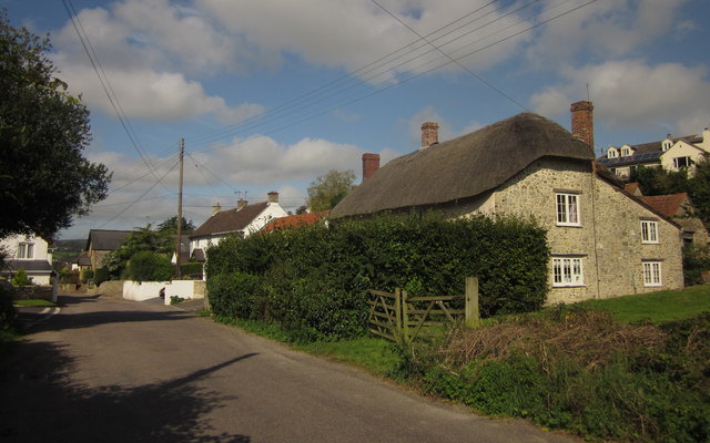
Image: © Derek Harper Taken: 15 Sep 2012
Right in the southwest corner of the square. South Combe Farmhouse on the right is described at http://www.britishlistedbuildings.co.uk/en-87692-south-combe-farmhouse-axmouth-devon .
Images are licensed for reuse under creativecommons.org/licenses/by-sa/2.0
Image Location
Latitude
50.714172
Longitude
-3.049365