Ger Ffarm y Lan Fach / Near Lan Fach Farm
Introduction
The photograph on this page of Ger Ffarm y Lan Fach / Near Lan Fach Farm by Alan Richards as part of the Geograph project.
The Geograph project started in 2005 with the aim of publishing, organising and preserving representative images for every square kilometre of Great Britain, Ireland and the Isle of Man.

There are currently over 7.5m images from over 14,400 individuals and you can help contribute to the project by visiting https://www.geograph.org.uk
Ger Ffarm y Lan Fach / Near Lan Fach Farm
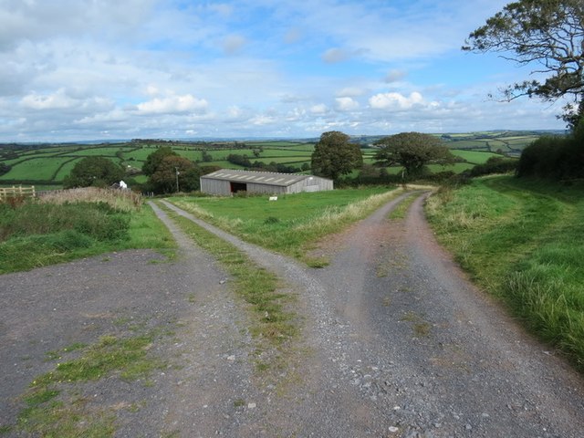
Image: © Alan Richards Taken: 21 Sep 2012
Cyffordd o draciau ger Ffarm y Lan Fach, Llansteffan. Mae'r llwybr cyhoeddus i'w weld a'r y dde gyfochrog â'r berth. A junction of tracks near Lan Fach Farm (trans. little hill), Llansteffan. The public footpath can be seen on the right running parallel with the hedge.
Images are licensed for reuse under creativecommons.org/licenses/by-sa/2.0
Image Location


Leaflet Map data © OpenStreetMap
Latitude
51.774785
Longitude
-4.398787