Wendover, Thurlow Street, SE17
Introduction
The photograph on this page of Wendover, Thurlow Street, SE17 by Danny P Robinson as part of the Geograph project.
The Geograph project started in 2005 with the aim of publishing, organising and preserving representative images for every square kilometre of Great Britain, Ireland and the Isle of Man.

There are currently over 7.5m images from over 14,400 individuals and you can help contribute to the project by visiting https://www.geograph.org.uk
Wendover, Thurlow Street, SE17
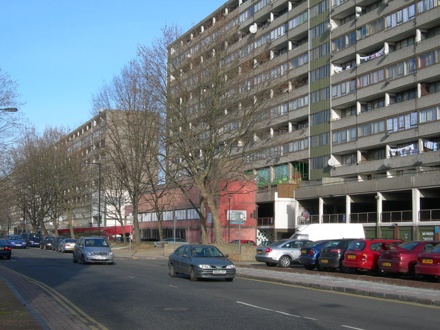
Image: © Danny P Robinson Taken: 14 Jan 2007
Wendover is part of the Aylesbury Estate. The estate is a good case study in how not to build council housing.
Images are licensed for reuse under creativecommons.org/licenses/by-sa/2.0
Image Location
Latitude
51.486988
Longitude
-0.08339