Pig Industry Development Authority buildings, Stotfold
Introduction
The photograph on this page of Pig Industry Development Authority buildings, Stotfold by Mick Malpass as part of the Geograph project.
The Geograph project started in 2005 with the aim of publishing, organising and preserving representative images for every square kilometre of Great Britain, Ireland and the Isle of Man.

There are currently over 7.5m images from over 14,400 individuals and you can help contribute to the project by visiting https://www.geograph.org.uk
Pig Industry Development Authority buildings, Stotfold
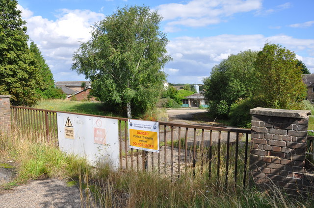
Image: © Mick Malpass Taken: 28 Aug 2012
These buildings are now derelict, but around the 1960 - 1970 period, this was a testing facility for checking the growth of pigs from weaning to slaughter. I have some very good memories of this place, it is so sad to see it now. Update. July 24 2015, Biggleswade Chronicle reports. Plans for a new care home, a new lower school and 116 new homes were approved by Central Beds Council for this site.
Images are licensed for reuse under creativecommons.org/licenses/by-sa/2.0
Image Location
Latitude
52.004092
Longitude
-0.242182