Coventry Canal: Hartshill winding hole
Introduction
The photograph on this page of Coventry Canal: Hartshill winding hole by Nigel Cox as part of the Geograph project.
The Geograph project started in 2005 with the aim of publishing, organising and preserving representative images for every square kilometre of Great Britain, Ireland and the Isle of Man.

There are currently over 7.5m images from over 14,400 individuals and you can help contribute to the project by visiting https://www.geograph.org.uk
Coventry Canal: Hartshill winding hole
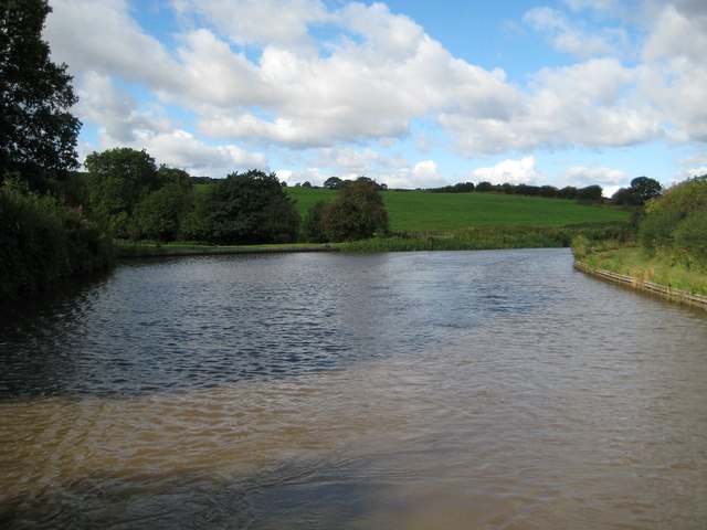
Image: © Nigel Cox Taken: 11 Sep 2012
A winding hole enables full length narrowboats to make a 180 degree turn.
Images are licensed for reuse under creativecommons.org/licenses/by-sa/2.0
Image Location


Leaflet Map data © OpenStreetMap
Latitude
52.554228
Longitude
-1.524745