Coventry Canal: Reach near Rawn Hill
Introduction
The photograph on this page of Coventry Canal: Reach near Rawn Hill by Nigel Cox as part of the Geograph project.
The Geograph project started in 2005 with the aim of publishing, organising and preserving representative images for every square kilometre of Great Britain, Ireland and the Isle of Man.

There are currently over 7.5m images from over 14,400 individuals and you can help contribute to the project by visiting https://www.geograph.org.uk
Coventry Canal: Reach near Rawn Hill
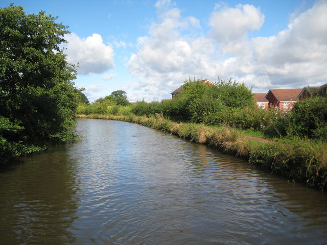
Image: © Nigel Cox Taken: 11 Sep 2012
The canal just clips across the south-western corner of this grid square as it approaches, (or leaves depending on which way one is travelling!), Rawn Hill.
Images are licensed for reuse under creativecommons.org/licenses/by-sa/2.0
Image Location
Latitude
52.570216
Longitude
-1.544048