Coventry Canal: Taverners Bridge Winding Hole
Introduction
The photograph on this page of Coventry Canal: Taverners Bridge Winding Hole by Nigel Cox as part of the Geograph project.
The Geograph project started in 2005 with the aim of publishing, organising and preserving representative images for every square kilometre of Great Britain, Ireland and the Isle of Man.

There are currently over 7.5m images from over 14,400 individuals and you can help contribute to the project by visiting https://www.geograph.org.uk
Coventry Canal: Taverners Bridge Winding Hole
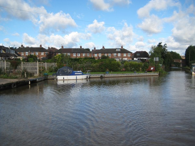
Image: © Nigel Cox Taken: 11 Sep 2012
The eponymous bridge is just visible along the canal to the right. The houses behind are in the delightfully named Bachelor's Bench road.
Images are licensed for reuse under creativecommons.org/licenses/by-sa/2.0
Image Location
Latitude
52.571216
Longitude
-1.546841