Weston-Super-Mare : Birnbeck Road
Introduction
The photograph on this page of Weston-Super-Mare : Birnbeck Road by Lewis Clarke as part of the Geograph project.
The Geograph project started in 2005 with the aim of publishing, organising and preserving representative images for every square kilometre of Great Britain, Ireland and the Isle of Man.

There are currently over 7.5m images from over 14,400 individuals and you can help contribute to the project by visiting https://www.geograph.org.uk
Weston-Super-Mare : Birnbeck Road
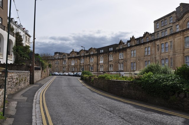
Image: © Lewis Clarke Taken: 20 Sep 2012
A road with houses along either side which has been named after the nearby island.
Images are licensed for reuse under creativecommons.org/licenses/by-sa/2.0
Image Location


Leaflet Map data © OpenStreetMap
Latitude
51.354748
Longitude
-2.993137