Stubble and Brinkley Road
Introduction
The photograph on this page of Stubble and Brinkley Road by John Sutton as part of the Geograph project.
The Geograph project started in 2005 with the aim of publishing, organising and preserving representative images for every square kilometre of Great Britain, Ireland and the Isle of Man.

There are currently over 7.5m images from over 14,400 individuals and you can help contribute to the project by visiting https://www.geograph.org.uk
Stubble and Brinkley Road
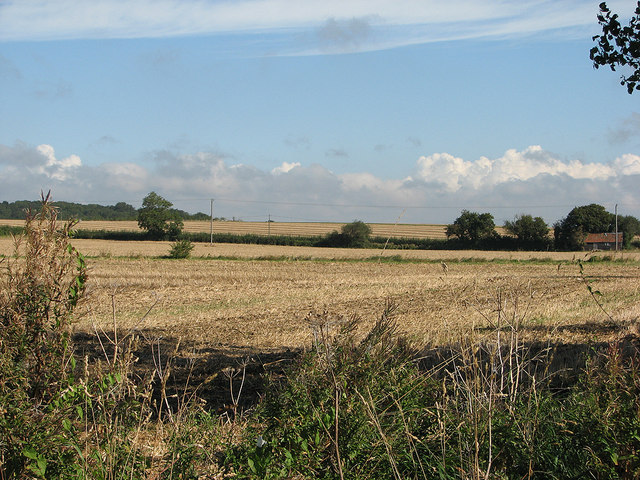
Image: © John Sutton Taken: 22 Sep 2012
The shallow valley of the River Stour, near its source, on a bright September morning. Brinkley Road is marked by the hedgerow crossing the picture in the middle distance.
Images are licensed for reuse under creativecommons.org/licenses/by-sa/2.0
Image Location
Latitude
52.156592
Longitude
0.391437